
Field Note
Read the Marine Forecast Before You Pick the Fishing Spot
A practical guide to marine zones, wind direction, gusts, seas, timing, advisories, tide, and safer surf, kayak, and boat fishing decisions in the Northeast.
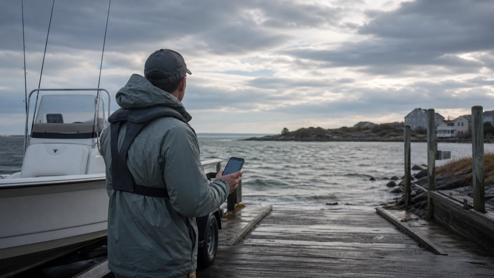
Quick take
Read the forecast as a route, not one wind number. Check the correct marine zone, wind direction, sustained speed, gusts, sea or wave forecast, timing, advisories, thunderstorms, tide, and the return trip. Then choose the beach, bay, inlet, kayak launch, or boat run that fits the worst part of the window.
A forecast that says “southwest 10 to 15” does not tell the whole fishing story.
Ten to fifteen from where? Gusting to what? Building or easing? Blowing along the beach, off the beach, into the inlet, or against the tide? What happens four hours later when the boat has to come home?
Northeast coastal fishing gets complicated because a short drive can move an angler between ocean beach, protected bay, Long Island Sound, inlet, harbor, river mouth, and nearshore ocean. The same wind can be manageable in one place and a bad call in another.
The marine forecast helps only when it is read against the actual route.
Start with the correct forecast zone
National Weather Service marine forecasts divide the coast into zones. A forecast for offshore waters is not the same as one for a harbor, sound, bay, or nearshore strip. A phone weather app centered on the parking lot may not describe the water beyond the inlet.
Before reading numbers, confirm:
- the launch, beach, or inlet location;
- the water the trip will cross;
- the farthest planned fishing area;
- the route home;
- any second zone entered during the trip.
For a boat trip, check every marine zone on the route. For surf fishing, compare the coastal forecast with the local beach exposure and rip-current outlook. For a kayak, include the open-water crossing, not only the protected launch cove.
Read wind direction in relation to the water
Wind direction tells you where the wind comes from. A west wind comes from the west and blows toward the east.
Now place that arrow on the actual spot.
Ask:
- Is it onshore, offshore, or running along the beach?
- Does it blow into the inlet or out of it?
- Does it push the boat toward safe open water or toward rocks, shoals, and a lee shore?
- Does it oppose the current?
- Will the return trip be into the wind?
- Is there a protected side of the bay or island?
An offshore wind may flatten the surf close to shore while making a kayak return difficult. An onshore wind may improve whitewater on one beach but make wading, casting, and rip-current risk worse. A wind that is comfortable inside a harbor can stack short steep water at the entrance.
Do not label a direction “good” or “bad” without naming the water and route.
Sustained wind and gusts do different work
The sustained forecast describes the broader wind. Gusts show the stronger bursts that can arrive with mixing, fronts, showers, or squalls.
Those bursts matter when:
- a small boat is drifting broadside;
- a kayak is crossing open water;
- an angler is standing on a wet jetty;
- a crew is docking or loading at a ramp;
- a long cast uses heavy plugs near other people;
- wind against tide creates a rough inlet.
Plan for the gust, not only the lowest number in the range. A manageable morning can become a poor afternoon if the forecast says winds and gusts will increase.
Read the timing, not just the daily summary
A fishing trip occupies hours. The forecast changes inside those hours.
Build a simple timeline:
| Time | Forecast question |
|---|---|
| Launch or walk-in | What are wind, visibility, radar, and tide doing now? |
| First fishing window | Is the trend stable, improving, or building? |
| Turnaround time | When does the crew leave the farthest point? |
| Return | Will wind, tide, darkness, or storms make the route harder? |
| Backup | Which protected location still works if the first plan fails? |
The turnaround time should be earlier than the moment conditions become unacceptable. Leaving when the front arrives is not the same as being home before it arrives.
Waves, seas, and period need context
Marine forecasts may describe seas, waves, or both, depending on the zone and product. A single height does not explain every inlet, shoal, bar, rip, or beach.
Wave period, direction, wind, current, and bottom shape affect how the water feels. A long-period swell can make an inlet bar or exposed rock dangerous even when local wind is light. Wind against current can create short steep water. Reflected waves can make a harbor entrance confused. Shoaling water can make an otherwise orderly swell stand up near the beach.
Use the zone forecast as the starting point. Then account for local hazards and observations. If the operator does not understand how the forecast translates to a specific inlet or bar, choose another route or wait.
Advisories are not the only stop signal
A formal advisory or warning deserves attention, but the absence of one does not certify the trip.
A boat, kayak, surf spot, crew, or access point may reach its practical limit before an advisory threshold. Local fog, thunderstorms, rip currents, cold water, debris, traffic, or a mechanical problem can close the margin further.
The decision belongs to the actual vessel, operator, angler, and conditions. The forecast is information, not permission.
Add tide and current to the weather
Wind can change what a tide feels like. Around inlets, channels, points, and shallow bays, wind against current can make water steeper and boat control harder. Wind with current can make the boat move faster than expected.
NOAA distinguishes tide, the vertical rise and fall of water, from current, the horizontal movement of water. A nearby high-tide time does not describe the exact current at every inlet throat, bridge, or shoal.
Before the trip:
- check the tide prediction at a relevant station;
- identify the likely current phase at narrow water;
- compare wind direction with the route and current;
- consider the tide height at the ramp, beach exit, or marsh path;
- leave room for local timing differences.
The tide dashboard helps organize the prediction. Actual water and local knowledge still control the final call.
Surfcasters should read exposure
For shore fishing, translate the forecast into footing, casting, and exit conditions.
Check:
- onshore wind and wave buildup;
- long-period swell;
- rip-current outlook;
- whether the tide will cut off the walk back;
- lightning and visibility;
- wind direction relative to casting space and other people;
- temperature, spray, and clothing for the full session.
A productive-looking whitewater line is not useful if the angler cannot stand, cast, land a fish, or leave safely.
Small boats and kayaks need a return-first plan
Small craft lose margin quickly when wind builds. Read the farthest point and the return before choosing the first drift.
Ask:
- Can the craft make headway against the forecast wind and current?
- Is there a closer protected route?
- Will the inlet, bridge, or crossing be harder later?
- Does everyone have the right personal flotation device and clothing?
- Are communications, lights, sound equipment, fuel, and batteries ready?
- Has someone ashore received the float plan?
For kayaks, offshore wind and open-water crossings deserve special caution. Calm water at the launch can hide the work required to get back.
The five-minute forecast routine
Use this before driving:
- Open the official forecast for the correct marine zone.
- Read the full period covering departure, fishing, and return.
- Draw the wind direction on the planned water.
- Note sustained wind, gusts, wave or sea information, visibility, and advisories.
- Check radar, lightning, rip-current information where relevant, tide, and current.
- Pick a primary spot and a more protected backup.
- Set a turnaround time.
At the access point, compare the forecast with the water. Whitecaps, fog, breaking bars, debris, current, and traffic can overrule the plan.
A better fishing decision
The goal is not to find a forecast that says yes. The goal is to choose a trip that still makes sense when the wind shifts, the tide turns, or the crew has to come home.
Use the site’s Fishing Reports and Tides page and Northeast Fishing Trip Planner to put the zone, timing, tide, access, and backup in one place. Then make the call from the actual beach, ramp, dock, or harbor.
A good forecast check does not guarantee fish. It keeps a fishing idea from becoming a bad route.
Read the whole trip
Check the zone, wind, gusts, water, tide, and return
Choose the fishing spot after the route and backup survive the forecast.