Field Note
Best Free Fishing Apps for Tides, Maps, and Logs
A free-first fishing app stack for tides, weather, satellite scouting, maps, catch logs, and smarter Northeast coastal trip planning.
Updated June 12, 2026
Quick take
The best free fishing app setup is NOAA tide/current data, the National Weather Service marine forecast, Google Maps or Google Earth for access scouting, and a simple private log. Add a paid fishing app only when you know exactly which missing feature you are paying for.
Last checked May 20, 2026. Free app features can change. Confirm current app-store details before relying on offline maps, alerts, or saved data.
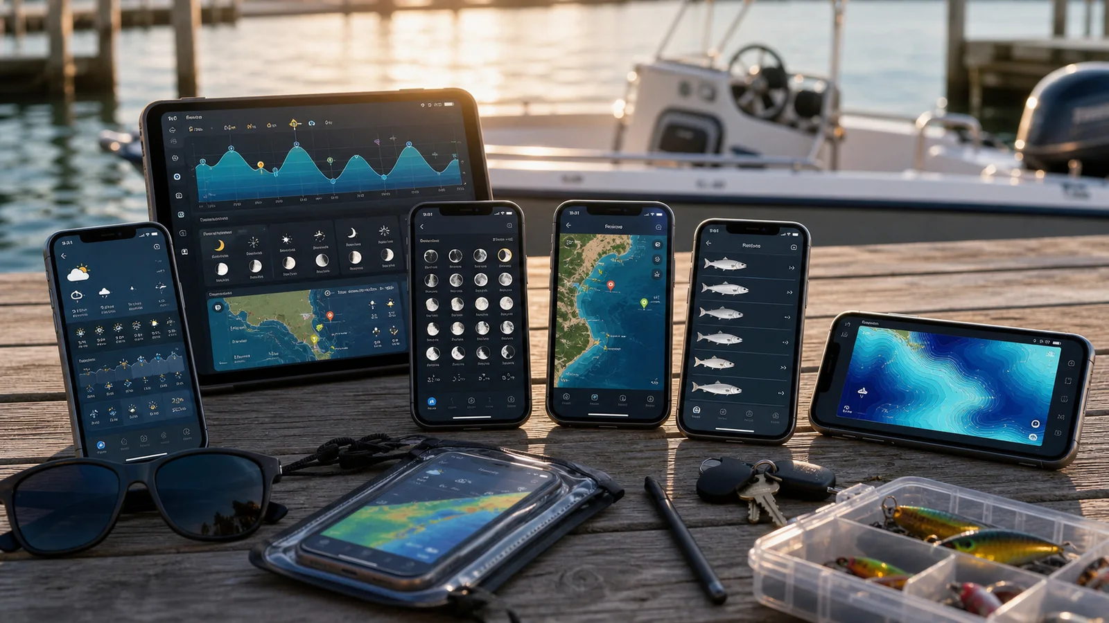
The free-first stack
If you want to plan better fishing trips without subscribing to anything, build the stack around jobs:
| Job | Free tool | Why it matters |
|---|---|---|
| Tide and current | NOAA Tides and Currents | Official station data helps time water movement |
| Weather and marine safety | National Weather Service | Wind, fronts, storms, fog, advisories, and marine forecasts |
| Access scouting | Google Maps or Google Earth | Parking, beach shape, cuts, points, ramps, jetties, and walking distance |
| Notes and patterns | Notes app, spreadsheet, or free logbook | Saves what happened so future trips are less random |
| Reports | Local shop/publisher pages | Current bite clues, species movement, and local color |
Do not start with the app that promises the most. Start with the data that answers the next trip question.
Turn the app plan into the gear plan
The useful app stack should change what you pack. If the weather app says wind and spray, solve the shell layer. If the map shows a long beach walk, simplify the carry. If the tide window puts you in hard sun or a late-day front, plan around exposure before the drive.
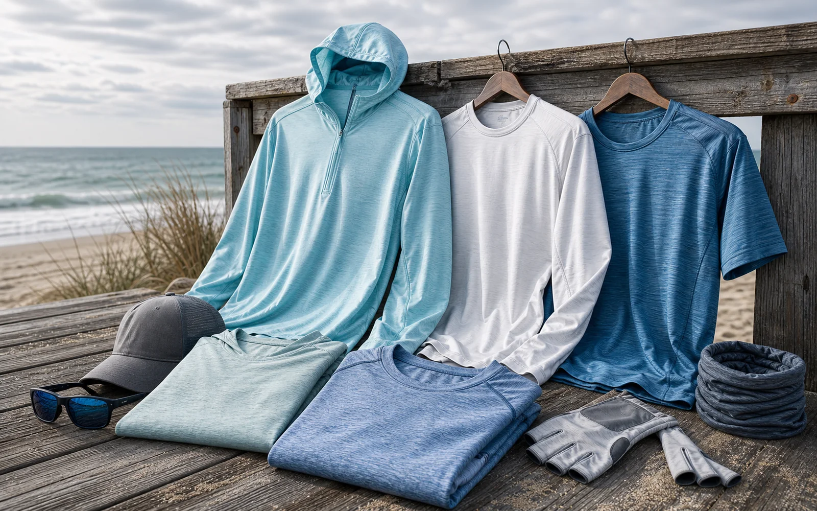
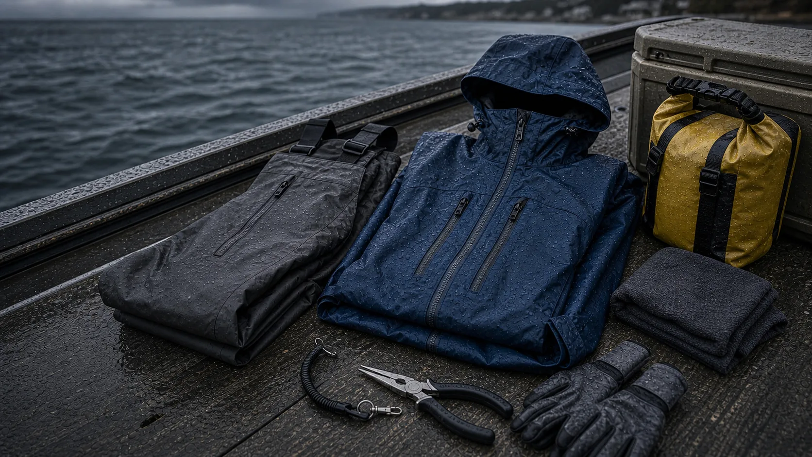
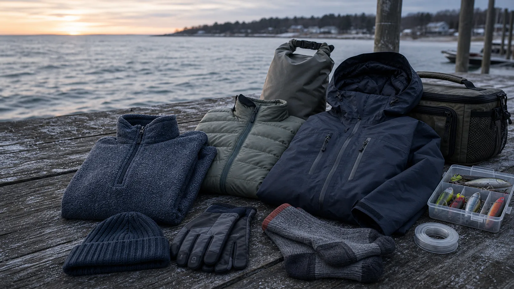
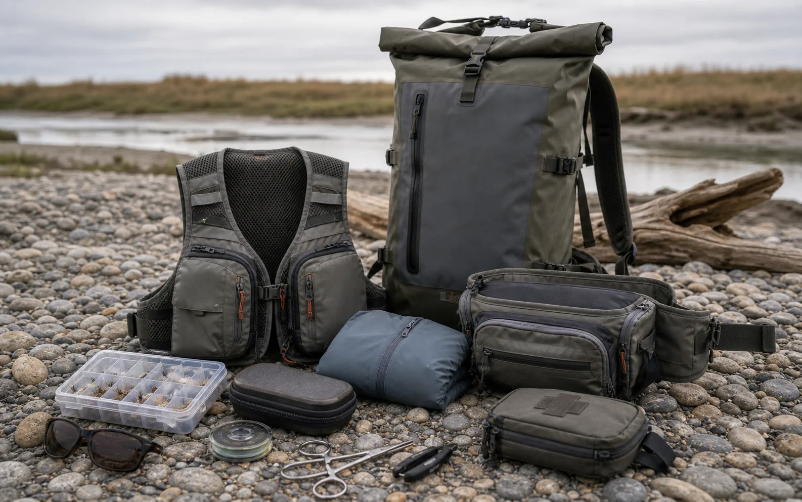
Use the Northeast Fishing Trip Planner to connect tide, weather, and access decisions. For Patagonia-specific gear paths, use fishing packs and waterproof bags for dry phone and layer carry, rain jackets for wind and wet weather, and sun hoodies for bright water and long walks.
Free tides and currents
Tide apps are useful because coastal fishing is often a timing problem. Around Long Island, New Jersey, Rhode Island, Connecticut, and Cape Cod, the tide can change where bait sits, how current forms, how deep a trough fishes, and whether an inlet is comfortable.
NOAA is the clean first stop because it is the official tide and current source. Use it to check station timing, nearby current predictions, water levels, and whether the window you want lines up with sunrise, sunset, or a reasonable travel plan.
Free weather and marine forecast
Wind can beat a good tide. Before you chase a solunar score, check direction, gusts, marine forecast language, thunderstorms, fog, and small craft advisories. The National Weather Service is the source to anchor that decision.
For surf anglers, wind direction can change casting, weeds, sweep, and water clarity. For boat anglers, it can decide whether the run is safe or annoying enough to ruin the day. For shore anglers, it changes comfort, bug pressure, and how much layer you need.
Free maps for fishing access
Google Maps and Google Earth are not fishing apps, but they are excellent scouting tools. Use them to look for:
- Legal parking and nearby street access
- Long beach walks that change what you should carry
- Points, cuts, bars, marsh drains, rocks, and bridge shadows
- Boat ramps, marinas, and nearby bailout options
- Dunes, private land, refuges, and places that require extra rule checks
Satellite scouting is not a guarantee. Sand moves, closures happen, and a promising mark can be unfishable on the wrong tide. Still, map scouting helps you show up with a plan.
Free fishing logs
The most underrated fishing app is the log you actually keep. A free notes app is enough if you record useful fields:
- Date and location
- Tide stage and direction
- Wind direction and speed
- Water clarity and weed
- Bait, birds, and surface activity
- Lure or bait used
- Hits, follows, catches, and blank stretches
- What you would do differently next time
The goal is not to build a museum. The goal is to avoid starting from zero every trip.
When a paid fishing app is worth it
Pay when the app solves a job your free stack does not solve well. Good reasons include offline nautical charts, high-resolution contours, synced waypoints, a cleaner logbook, saved route planning, or a forecast/logging workflow you will actually use.
Weak reasons include vague bite predictions, curiosity, or the hope that one app will replace local learning. Paid tools can help, but they do not fish the tide window for you.